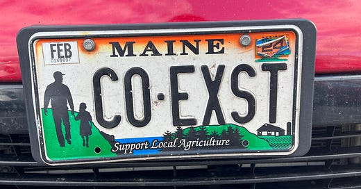
🦃 Happy Thanksgiving to my American friends and subscribers and best hopes for coexistence around the world, even though it feels so unlikely in the Middle East and between Ukraine and Russia, particularly. I loved this license plate I spotted in our supermarket parking lot making that point.
With coexistence in mind, I hope you’ll watch and SHARE my recent Sustain What webcast on research showing how horrific societal disruptions, including invasions and civil war, can sometimes shift countries into eras of sustained peace. But this doesn’t just happen, said Peter Coleman, who runs a Columbia program on “sustainable peace.” It requires sustained work and particular methods. Watch to learn more on YouTube, LinkedIn, Facebook or X/Twitter. Coleman was joined by Palestinian peace builder Aziz Abu Sarah and Mira Sucharov, an expert on Israeli/Palestinian politics.
Map as paths to awareness and recovery
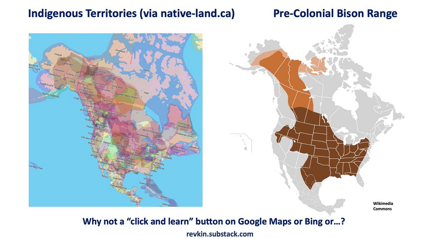
Along with coexistence and tolerance, I’m hoping for deeper recognition of histories that have too long been hidden and that technology can help illuminate. Maps can do this. One of my favorites is Native-land.ca, essentially a Google Maps for Indigenous history showing territories, languages and treaties with or without imposed labels.
It’s a great tool but you have to know about it to use it. On social media I began pushing years ago for the folks who run Google Maps to add an opt-in button connecting to Native-land.ca or a built-in layer created and maintained through Google by Indigenous geographers. If Google Maps (or Apple Maps or Bing) can have a button for ATM’s, why not Indigenous geography?
On October 12, 2020, I tweeted this: “Wouldn't it be neat to open @googlemaps on #indigenouspeoplesday (or have a clickable layer there *any* day) and see something like this - as a reminder of the stolen geography that preceded modern life @nativelandnet Teacher's guide: https://native-land.ca/teachers-guide/.”
Even better, why not add a deeper layer, showing the ecological history of the landscapes we crisscross too often with little awareness of what was, and what may return with some effort. I think often about the bison that once migrated through what is now the city of Chicago. Clearly we’re not going to rewild that city with thundering herds of bison, but at least conservation and restoration conversations can be sparked. Here’s a “card” I’ve posted off and on out there. Feel free to download and share it!
It’s possible for these big platforms to change.
In 2009, I wrote a New York Times story about the addition of three-dimensional ocean topography to Google Earth. That didn’t happen until the famed ocean explorer and scientist Sylvia Earle pressed the case at a public event. Public pressure can help. Let me know what you think. Here’s the context on Google Oceans from that story:
The two-year push to fill in the giant blue blanks came through a chance encounter in March 2006. Mr. Hanke* was poised to receive an award from the Geographical Society of Spain for his pioneering work building Web-based models of the planet.
But he was preceded at the dais by Sylvia Earle, a former chief scientist at the National Oceanic and Atmospheric Administration who was there to receive her own award for deep-sea exploration and popularizing ocean science.
She turned to him and said she loved the way Google Earth allowed users to see how one thing relates to another on the planet. But Dr. Earle bluntly added: “You’ve done a great job with the dirt. But what about the water?”
Since that time, Dr. Earle and Mr. Hanke have been partners in the long effort, as she explained, “to make sure the mountains don’t end at the beach.”
[*John Hanke, the Internet entrepreneur who co-created the progenitor of Google Earth, called Keyhole, and moved to Google when the company bought his company in 2004.]


